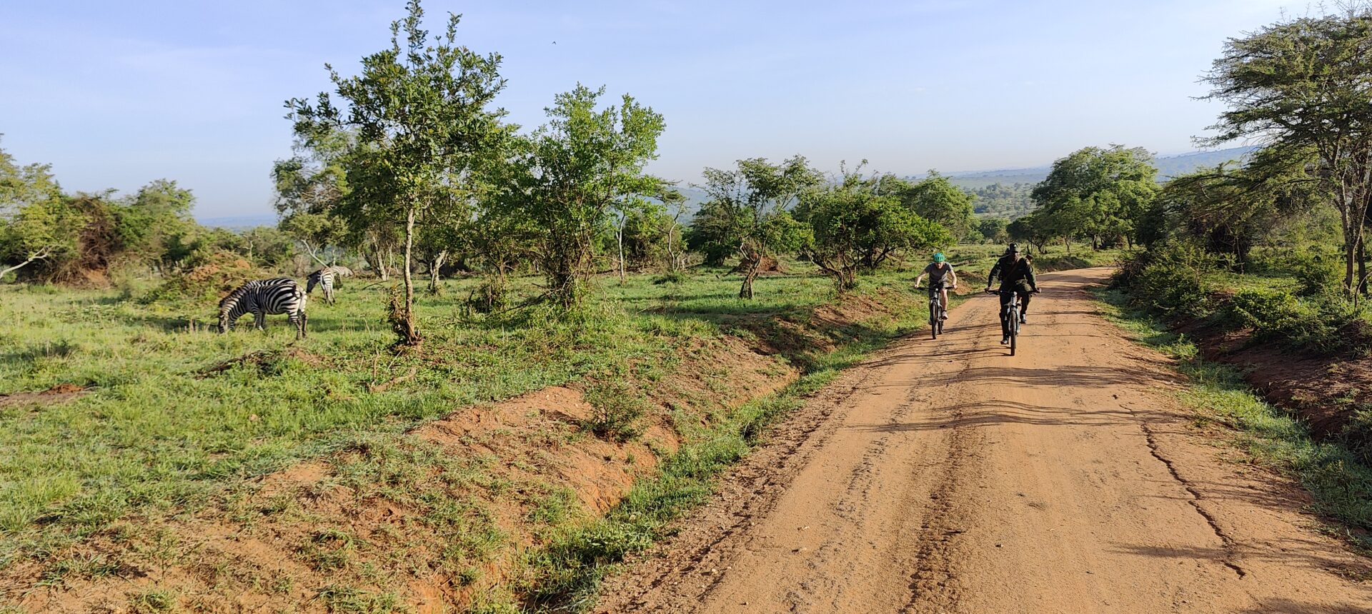
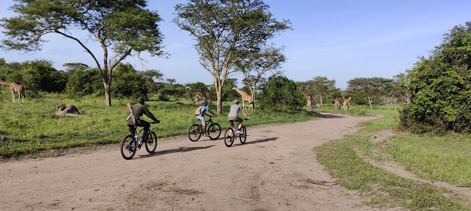
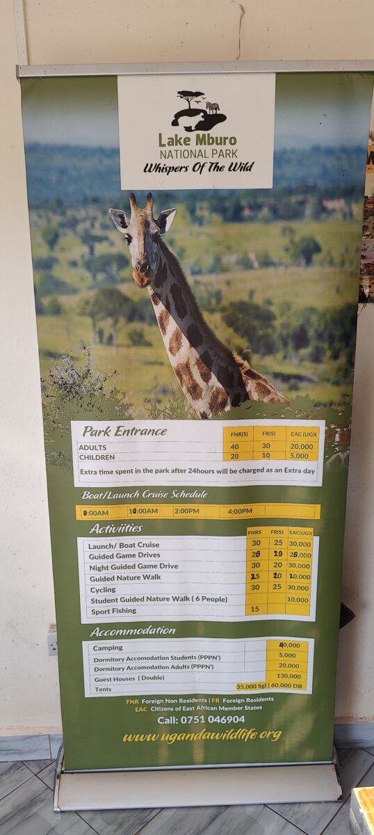
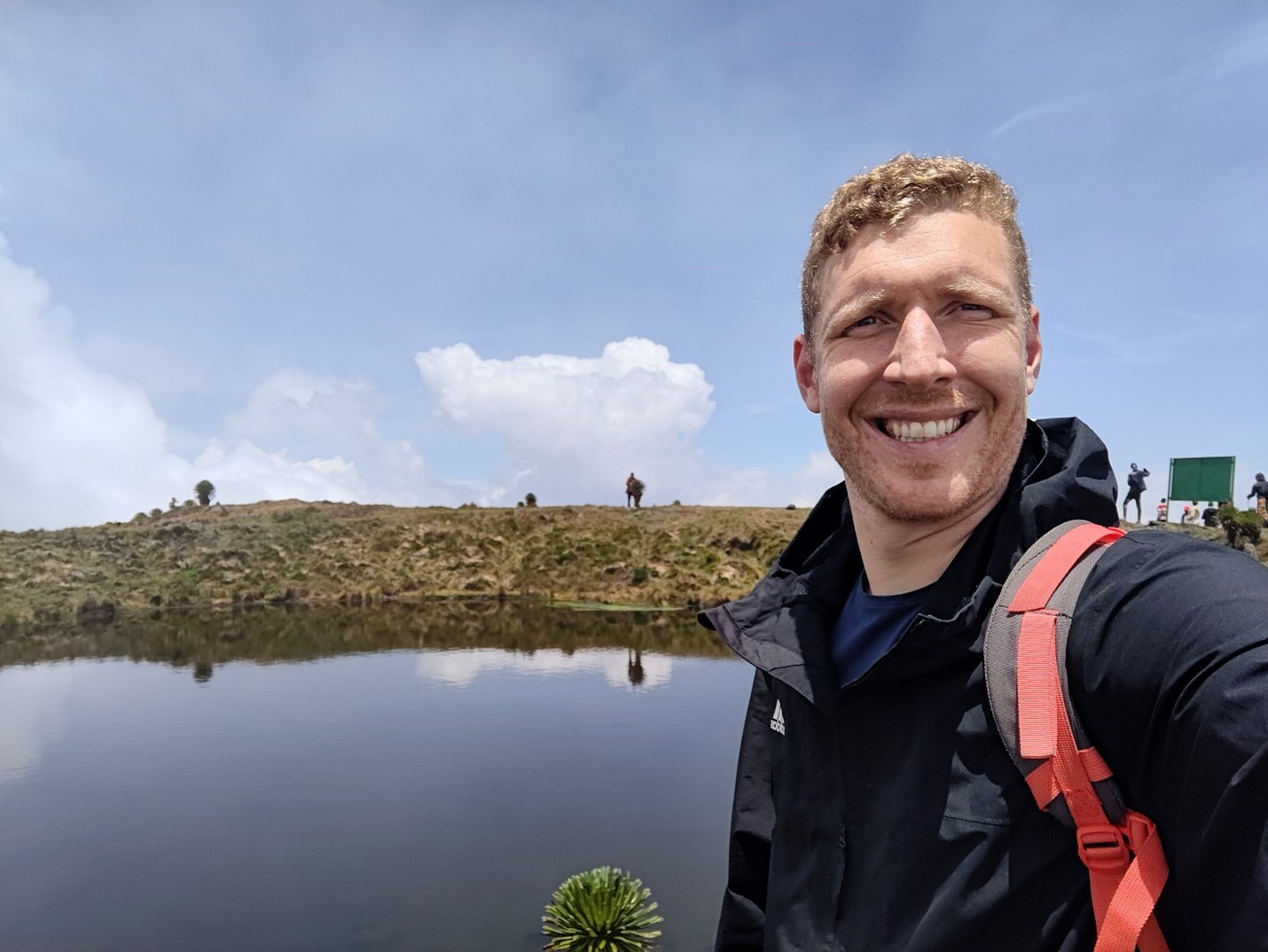
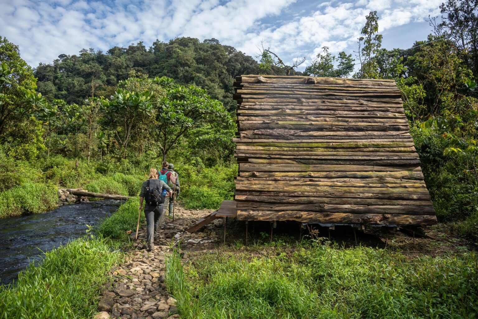
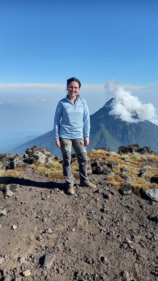
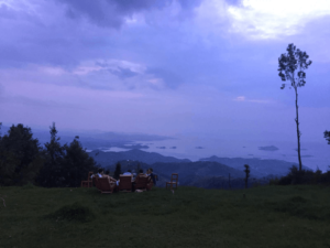
During our trip to Rwanda and Uganda in 2024, we also passed Mburo Lake National Park, a park located between the Boarder with Rwanda and the capital of Uganda, Kampala.
The unique aspect of this park? There are no dangerous animals to worry about, which means we could run and bike freely without being attacked by a lion. On the other hand, it’s a home to 350 bird species as well as zebras , leopard, impalas, elands, buffalos, oribi, waterbucks, hippos, hyenas, topi and reedbuck. So there are definitely nice animals to spot ! Hmm, caution may be advisable with some of these animals after all ;).
I had already done a safari by car in the past, which in itself is amazing, but doing this while running or biking truly added a new dimension to the experience. Without the noise of a car engine, you don’t scare the animals, and you feel even more in tune with nature.
We ended up doing a bike tour of about 32KM, which took us about 3 hours.
Do you fancy experiencing the land of the thousands heels on 2-wheels? Here we describe our experience of a bike tour starting from the capital of Rwanda, Kigali.
Rwanda is excited to host the world-renowned Union Cycliste Internationale (UCI) Road World Championships from September 21-28, 2025. Imagine the stunning Rwandan landscapes as the backdrop for elite cyclists battling it out in this major international event. Cycling isn’t just a sport in Rwanda – it’s a national passion, almost as big as football.
Naturally, we were eager to experience at least a few of these famous “thousand hills” on two wheels ourselves.
With Responsible Travel Africa, you can easily rent a bike and embark on a tour tailored to your fitness level and experience.
We met the group bright and early (around 7:30 AM) at a charming café called Cave Coffee, located in the Gisozi area. We could tell the coffee was great because we were sipping some while the guides did a final check on the bikes.
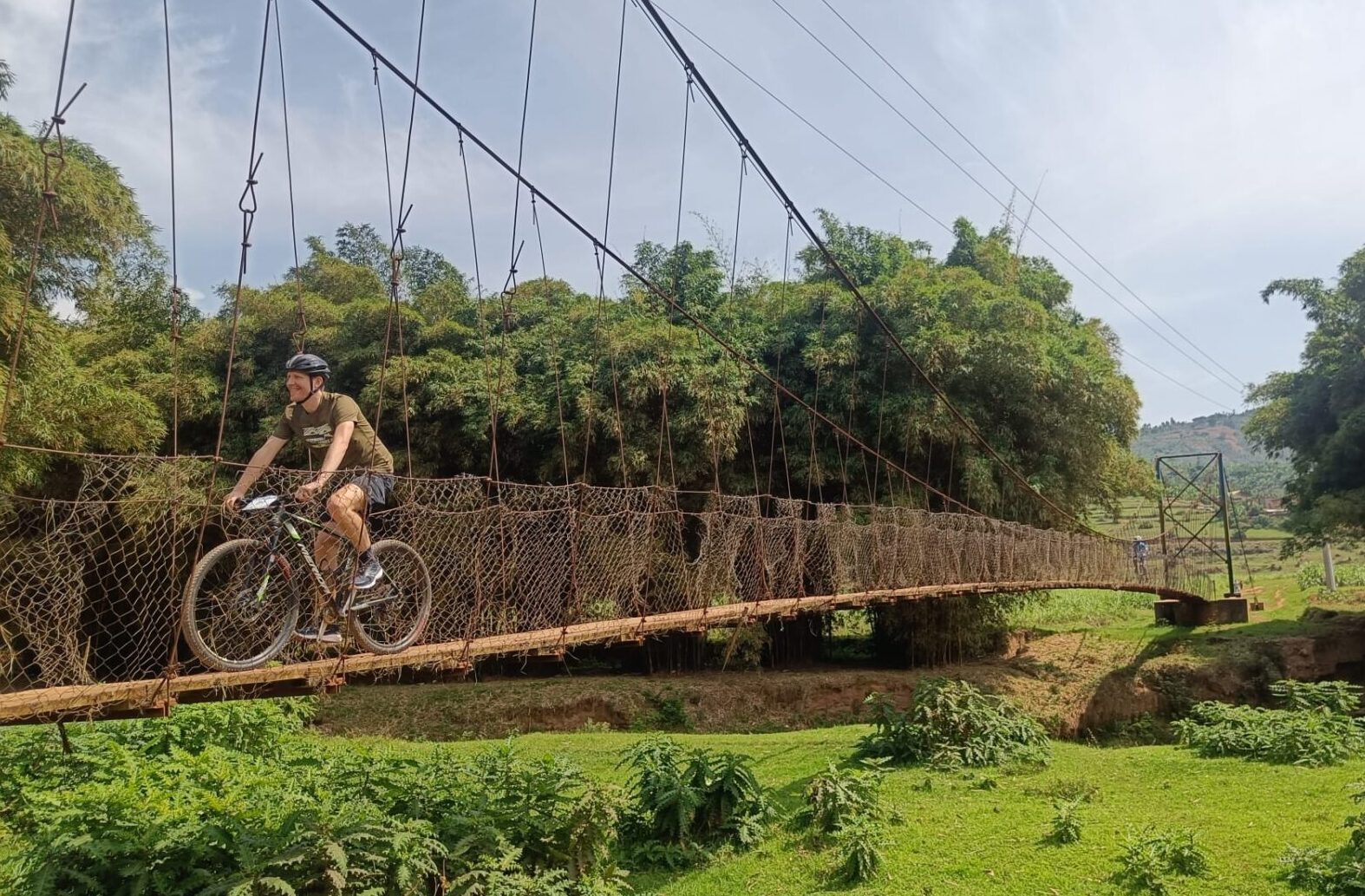
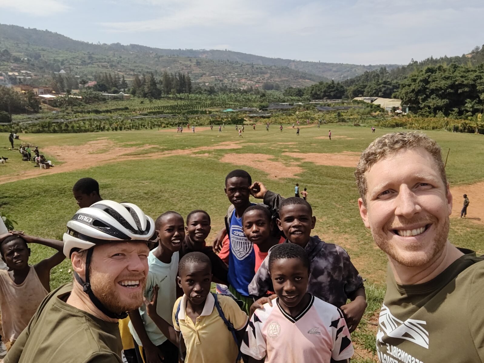
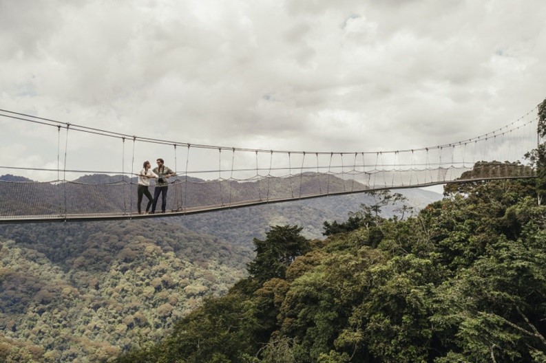
It was, in fact, a fantastic experience. You didn’t had to pedal far before you’re immersed in both the suburbs and nature. We cycled toward Nyacyonga, crossing the stunning Akinyana Suspended Bridge along the way. Oh, and we stumbled upon a local football match and rode past nice markets and shops.
All in all, we covered 31 km, which took us around 3 hours.
After an existing ride, we ended up back at the café, where, fortunately, they also served refreshing fresh fruit juices! 🙂
And of course.. having such a fun, active morning, the juice tasted even better! 🙂
The stunning Akinyana Suspended Bridge
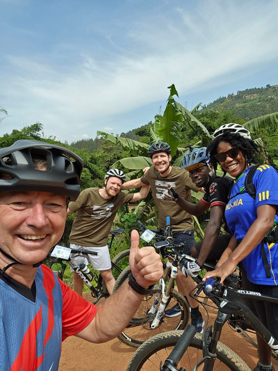
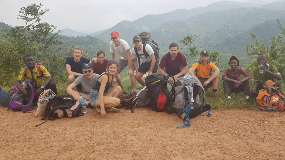
We were accompanied by a great group of fellow bike enthusiasts.
3-Day Congo-Nile Mountain Biking Adventure: Kibuye to Gisenyi
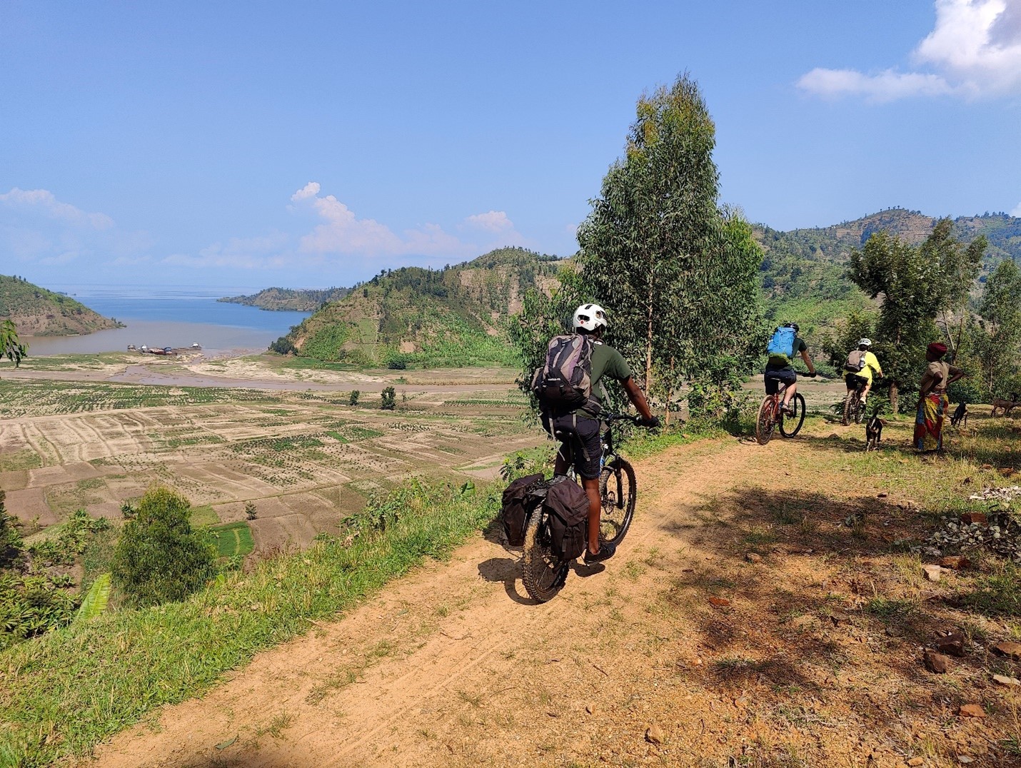
Embarking on a 3-day mountain biking journey along the Congo-Nile Trail, our adventure started in Kibuye and concluded in Gisenyi. Despite not being seasoned bikers, our decent physical fitness and familiarity with biking in Belgium equipped us for this memorable expedition. Experienced mountain bikers might accomplish the trail in just 2 days. If you are not used to ride a bike, it is better to hike it, because the hills are quite steep sometimes.
Day 1 (Kibuye – Bumba)
Distance covered: 25 km
Elevation: 800m
Effective riding: 3h
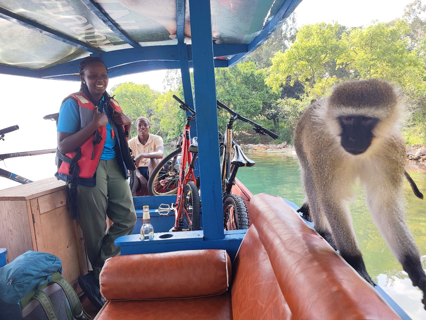
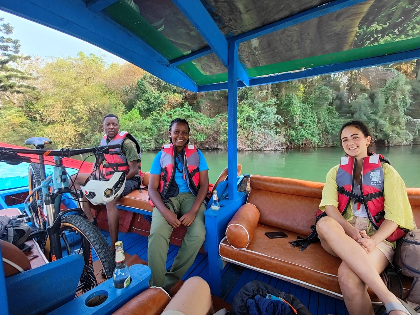
Renting our bikes from Responsible Travel Africa in Kibuye, the kick-off point of our adventure, we were greeted by our extremely friendly guide ‘Jado’ at Kivu Rebero Lodge at 7.30 am sharp with 3 high-quality bikes. We wanted to skip the initial 5km on the main road and experience island-hopping activity (as Fernanda, who was part of the group, had not done this yet). Therefore, we did the first part by boat. During the boat trip, we encountered small islands and even shared the boat with a curious monkey
.
After being dropped off at the shore, the real work was about to start…
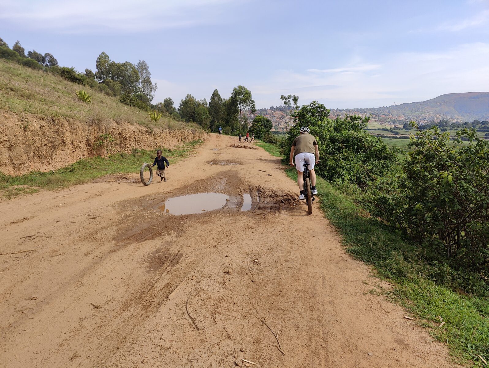
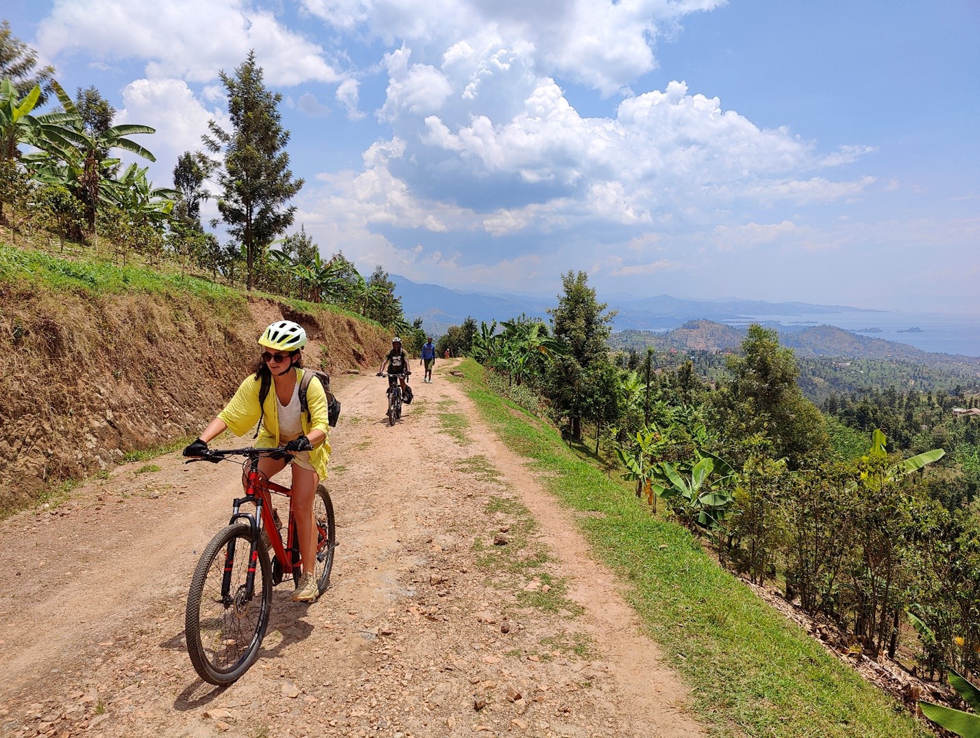
Crossing Musogoro River and ascending the northern slopes of Sakinnyaga mountain to Matyazo center, we meandered through banana plantations and closely interacted with local farming communities. Along the Congo-Nile Trail, encountering children in villages was, as always during the CN trail, a common sight.
The day concluded with a challenging climb to Bumba Basecamp, where Ernest, the owner, warmly welcomed us with fresh water, beers, and the local specialty “ROLEX” (= Rolled Eggs 😊).
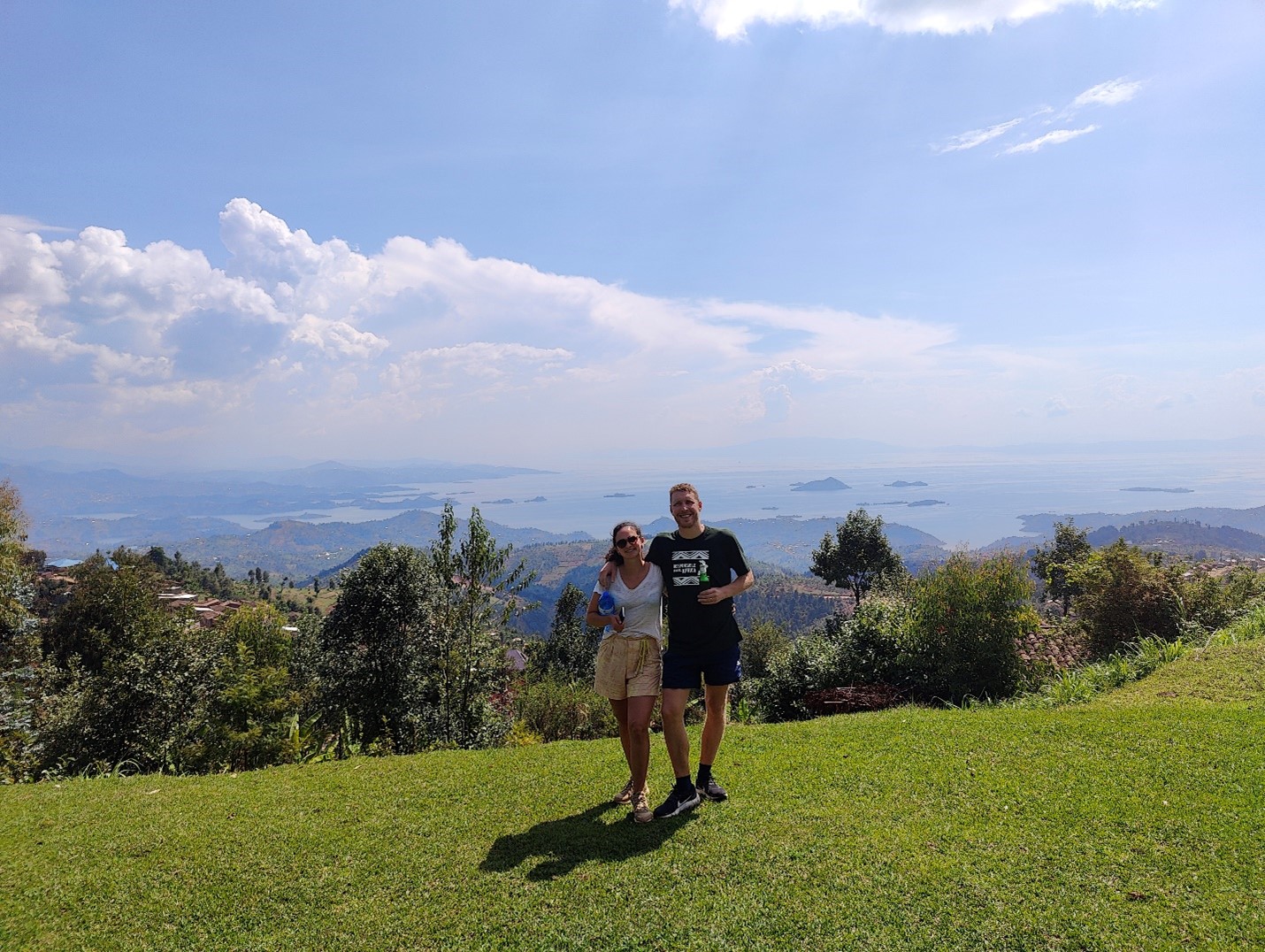
The view from Bumba Basecamp is absolutely rewarding and stunning.
Day 2: Bumba – Cyimbiri
Distance: 42.32 km
Moving time: 5h
Elevation gain: 922m
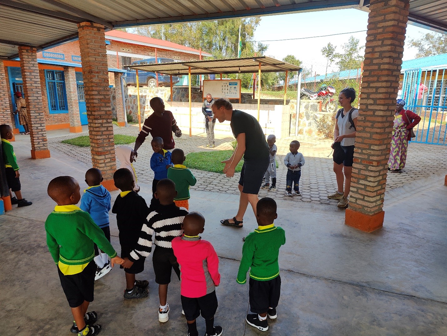
Our second day began with a visit to Bumba TVET school, adjacent to the basecamp, catering to around 120 children aged 3 to 12. Donations of English books, writing materials, and games for children are greatly appreciated.
This day was physically demanding for us, covering marathon distance.
We crossed – with the bikes on our back – a river flowing into the lake where we observed a boat departing for Congo.
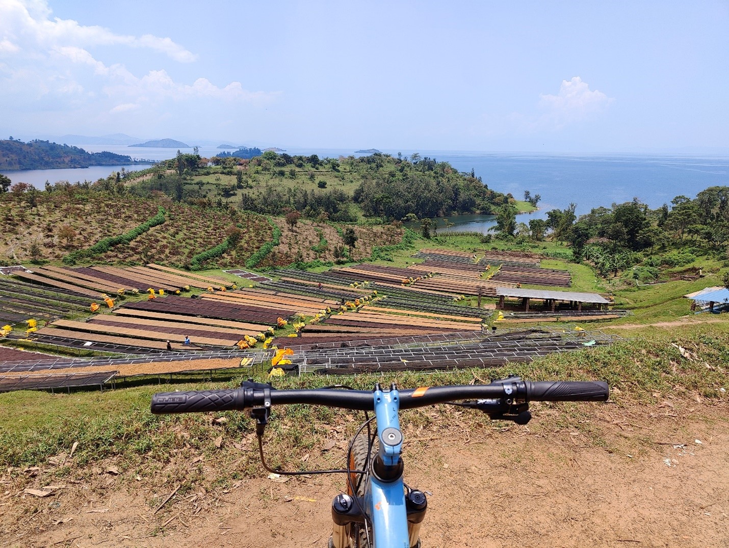
Besides this, we passed waterfalls, a coffee washing station, and various community activities like beekeeping and banana beer making. We didn’t do these activities during this trip because there was not enough time, but it is, of course, possible to do them.
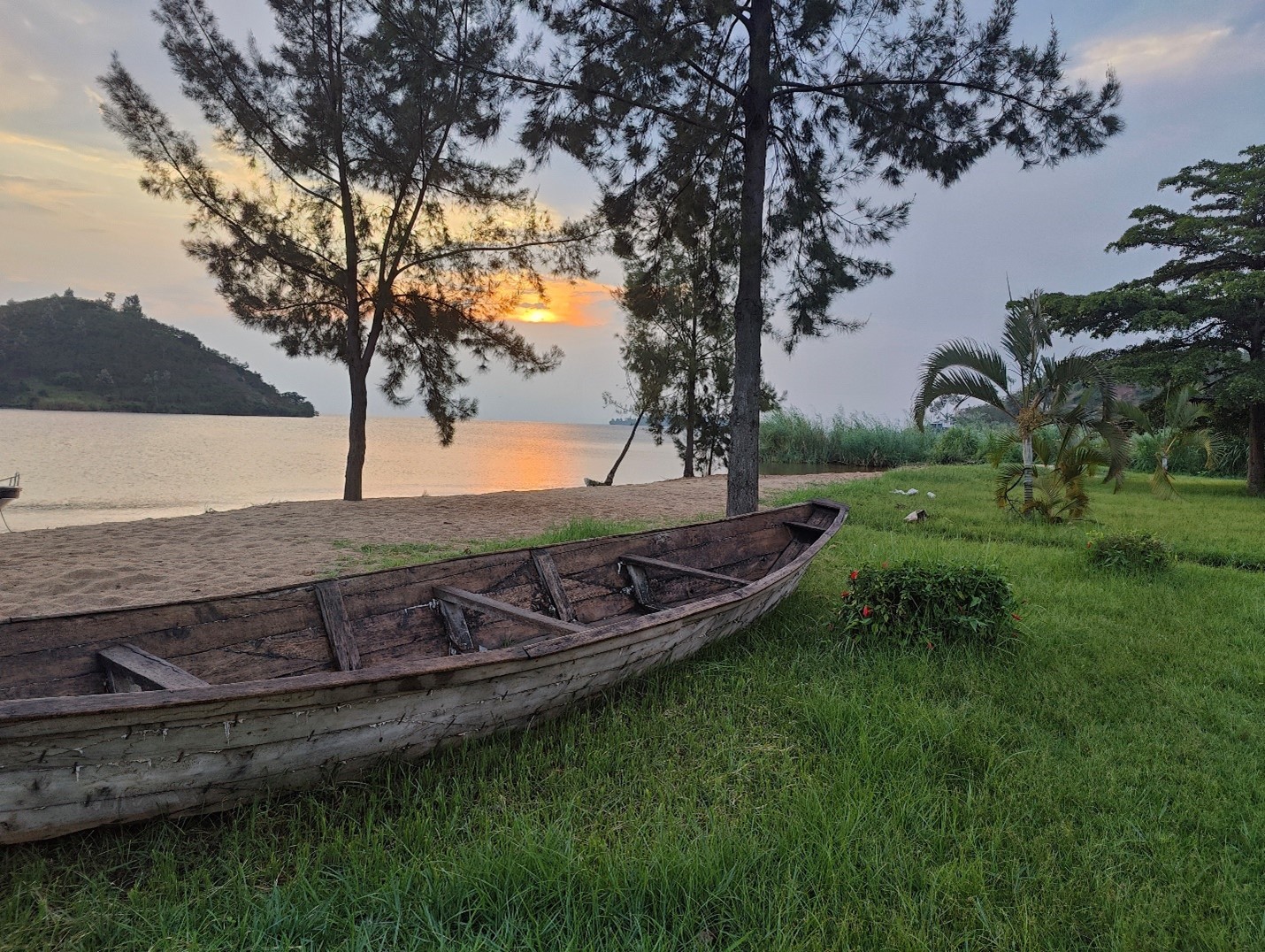
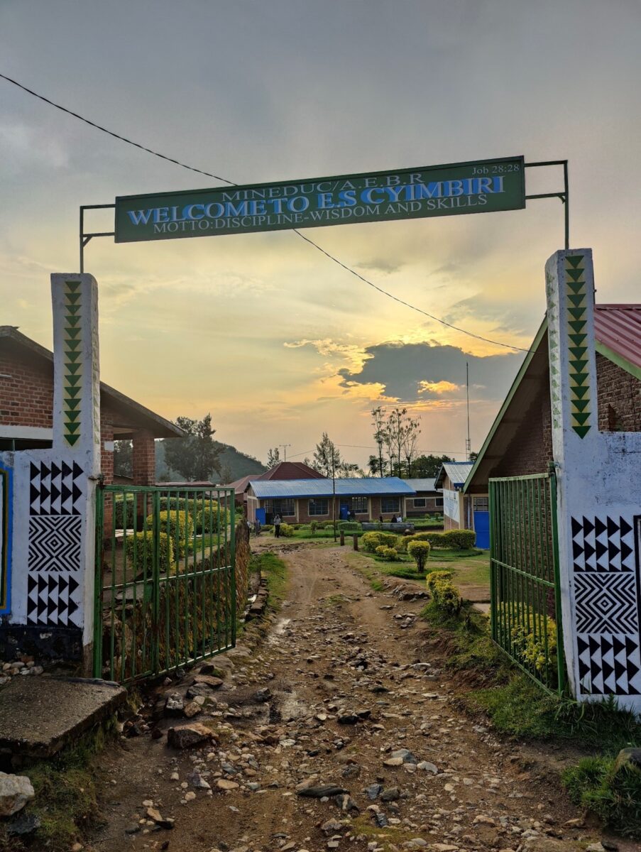
We ended in Cyimbiri, which is a school that also provides accommodation. We were just on time for a beautiful sunset over the lake 😊!
Day 3: Cyimbiri – Gisenyi
Distance covered: 26.84 km
Moving time: 3h
Elevation gain: 672m
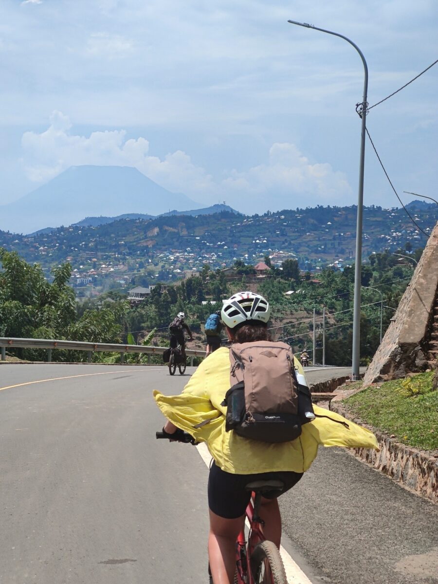
The final day, while less intense than the previous, required us to cover around 25 km to reach Gisenyi. Passing Rwandese women carrying bananas, we marveled at views of the active volcano ‘Goma’ across the border in Congo.
Conclusion:
Our 3-day mountain biking adventure on the Congo-Nile Trail was a challenging yet rewarding experience, filled with breathtaking landscapes, cultural interactions, and memorable encounters. Personally, I prefer to hike it, as it gives you more time to look around but this is a personal preference. It is, anyway, a wonderful journey that I can highly recommend!
If you are interested in doing the Congo-Nile trail bike bike, don’t hesitate to contact us: [email protected]
Nestled in the northern province of Rwanda, right on the Uganda border, Mount Muhabura, aptly named “The Guide” in Kinyarwanda, stands as an impressive extinct volcano within Volcano National Park. It is the second-highest mountain in Rwanda, at 4,127 meters above sea level.
While not technically demanding, conquering Muhabura does require a solid fitness level. It is a tougher climb than Mount Bisoke and might even be harder than climbing the highest mountain: Karisimbi, due to its steeper slopes. I decided to take on the challenge from the Rwandan side, though you can also embark on the journey from the Ugandan side.
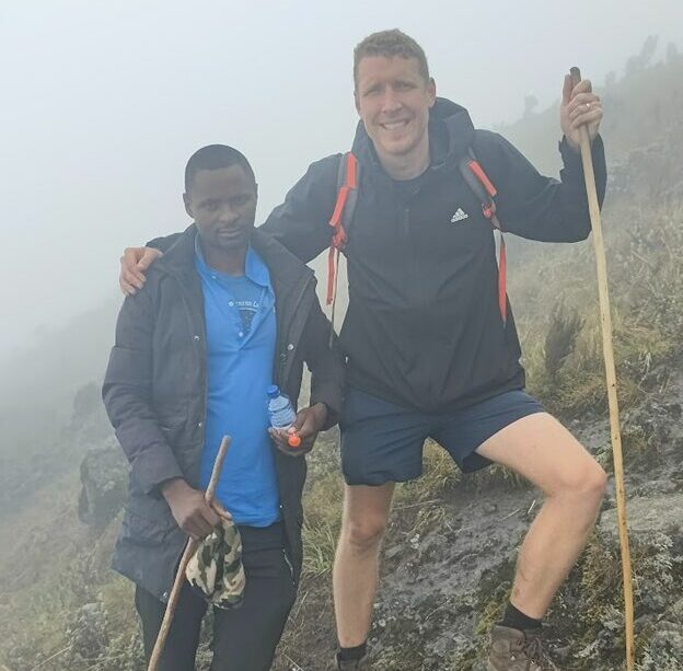
As for all activities in Vulcano national park (Dian Fossey trail, Gorilla Trekking,..), the starting point is Kinigi visitor center at 7.00 am for a briefing. I was there quite on low season, and the weather was not great in the morning, so I actually was the only one doing the hike.
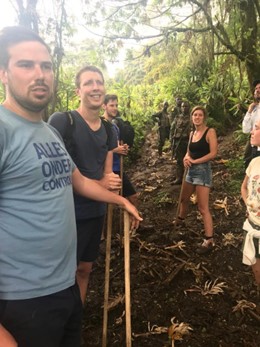
After the briefing, it is about a 45-minute drive (by means of your own transportation) towards a small village at the foot of the mountain. It is common and recommended to let you assist by a ‘porter’, who helps you carrying the bag and provides you with a walking stick for support.
A short walk through rural terrain leads you to the edge of the rainforest, where friendly rangers join the entourage.
The first part of the hike, you really walk in rainforest, in which you are greeted lush vegetation and the sounds of birds and wildlife, but as you further ascend, the landscape changes, giving way to rocky terrain and alpine vegetation. At first, it was very clouded, so I had very limited vision.
Thankfully, the mist gradually lifted as I ascended more, revealing breathtaking views. It is really impressive.
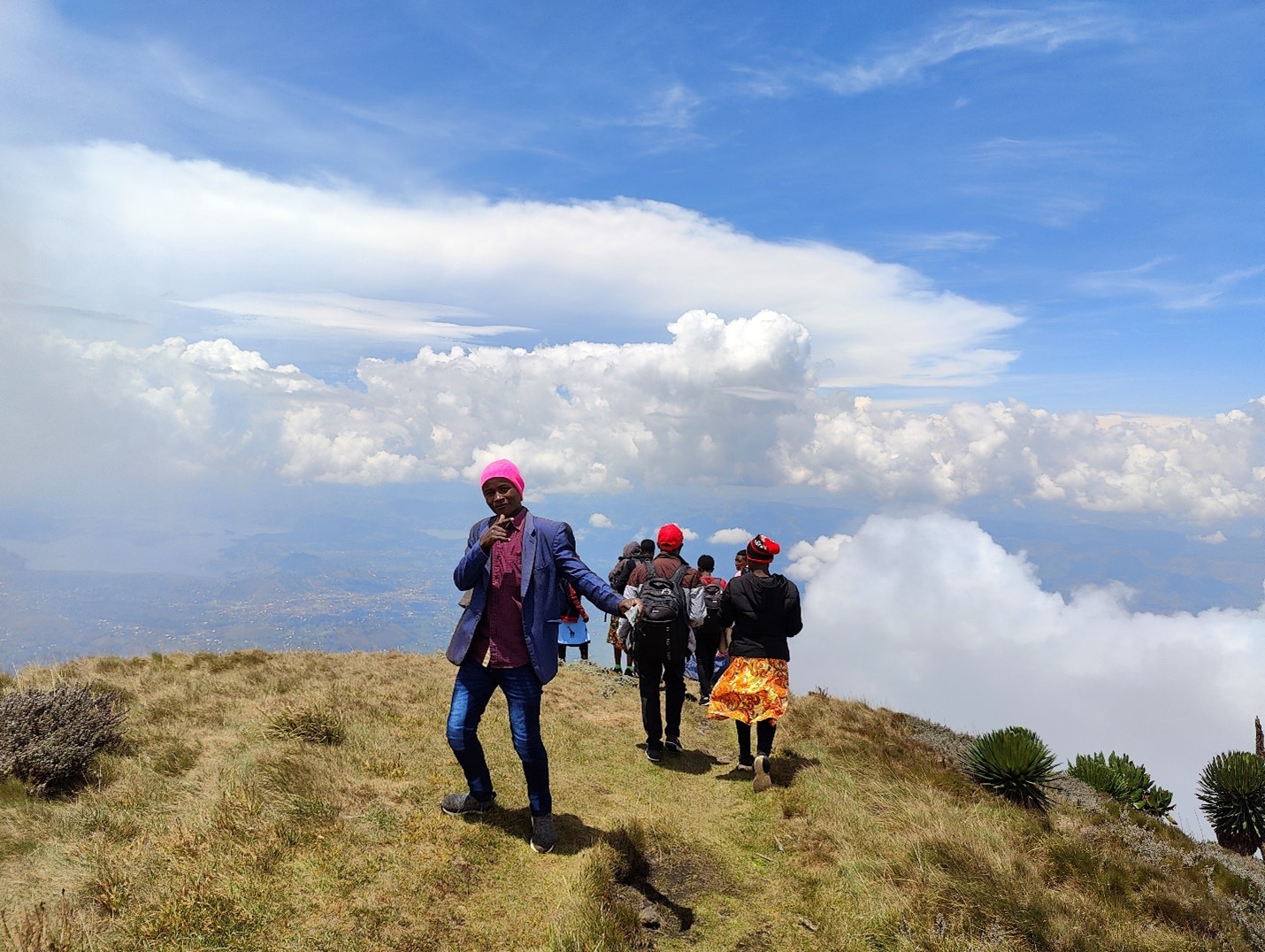
When I finally reached the top, I was very surprised. As mentioned, I had been hiking all the time alone with my porter (as the rangers kept quite some distance), but when I almost reached the top, I saw a lot of people at the top itself. Apparently, there was a Ugandan school that climb from the Uganda side. So from almost being alone, I was all suddenly part of an extensive photoshoot with a lot of people! 😊
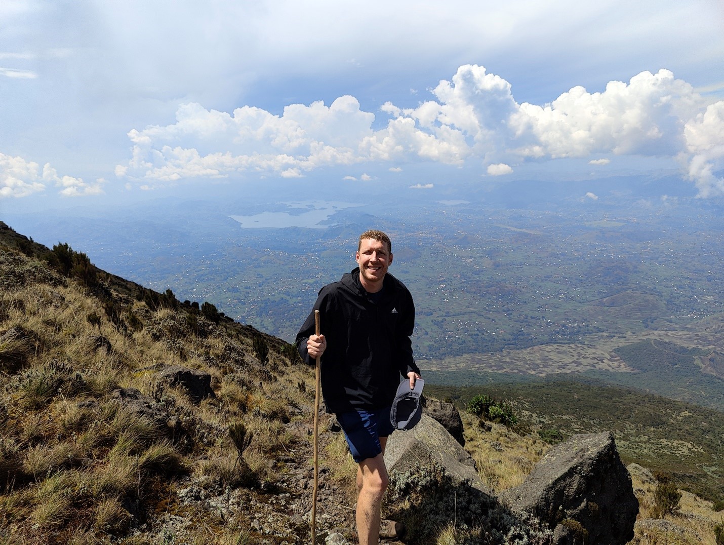
The highlight of the Muhabura hike is indeed reaching this summit, where hikers are greeted by a well-deserved sense of accomplishment. The summit offers stunning views of the Virunga Massif, the twin lakes in Rwanda and lake Mutanda in Uganda.
After having enjoyed the views of the crater, and the surrounding, and having a small lunch, I started the descend, which was – according to me – harder then climbing because of the impact on the knees, so I could recommend taking your time for that.
For those planning to take on the Muhabura hike, it is essential to be well-prepared. Proper hiking gear, including sturdy footwear, some warm clothing for the top + proper rain jacket, and plenty of water, is a must.
In conclusion, the Muhabura hike in Rwanda is a challenging yet unforgettable adventure that offers a unique opportunity to experience the beauty and majesty of this remarkable country.
Really, what a amazing day.
For those planning to conquer Muhabura, email us at [email protected]
Nestled within the heart of Rwanda lies a hidden gem that has recently captured the attention of adventurous souls and nature enthusiasts alike. The Cyinzobe Trail, a new addition to the renowned Nyungwe National Forest, offers an immersive journey through lush landscapes, diverse wildlife, and rich cultural heritage. In this blog, we’ll delve into the captivating experience that awaits those who embark on the Cyinzobe Trail adventure.
A Glimpse of Nyungwe National Forest: Before we delve into the details of the Cyinzobe Trail, let’s take a moment to appreciate the awe-inspiring beauty of Nyungwe National Forest. Located in the southwestern part of Rwanda, this sprawling tropical rainforest is a haven for biodiversity and a vital water catchment area. Spanning over 1,000 square kilometers, Nyungwe is a sanctuary for various species, including primates, birds, and countless plant varieties.
Introducing the Cyinzobe Trail: The Cyinzobe Trail is a recently introduced trekking route that offers a fresh perspective on the wonders of Nyungwe National Forest. Named after the Cyinzobe Waterfall, one of its highlights, this trail allows visitors to explore the forest’s southern part, uncover hidden treasures, and engage with local culture along the way.
Trail Highlights
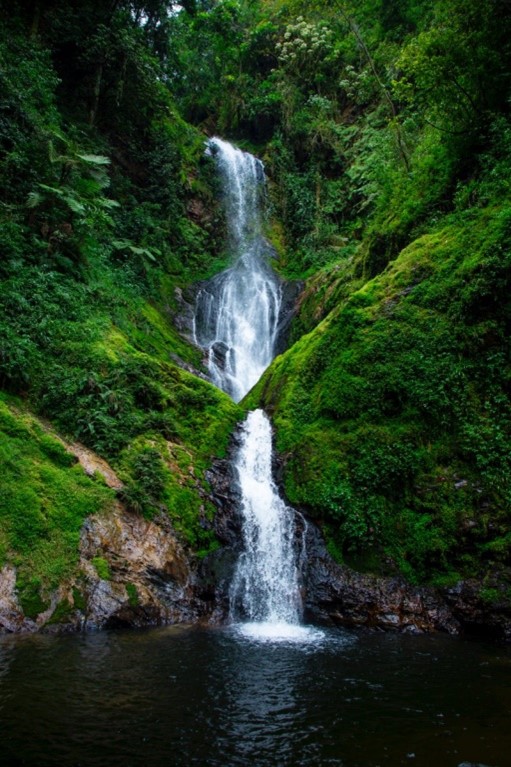
Cyinzobe Waterfall: The trail begins with a mesmerizing encounter with the Cyinzobe Waterfall, where the cascading waters create a symphony of nature’s melody. The misty atmosphere and lush surroundings make this spot a perfect place for photography and reflection.
Diverse Flora and Fauna: Nyungwe’s reputation as a biodiversity hotspot is showcased along the Cyinzobe Trail. Trek through varying landscapes, from bamboo thickets to moss-draped trees, and keep an eye out for vibrant bird species and playful primates, such as colobus monkeys and chimpanzees.
Panoramic Views: As you ascend higher along the trail, be prepared for breathtaking panoramic views. The vantage points provide stunning vistas of the undulating landscapes, rolling hills, and the verdant expanse of the forest canopy.
Tips for a memorable experience
Guided Tours: To fully appreciate the Cyinzobe Trail’s offerings, consider joining a guided tour led by experienced local guides. They possess intimate knowledge of the area’s ecology, wildlife behavior, and cultural significance.
Appropriate Gear: Wear comfortable trekking attire, sturdy hiking shoes, and carry essentials such as sunscreen, insect repellent, and a reusable water bottle. Don’t forget your camera to capture the unforgettable moments.
Responsible Exploration: Nyungwe National Forest is a protected area, and it’s essential to adhere to responsible tourism practices. Follow designated trails, avoid littering, and respect the natural environment and local communities.
The Cyinzobe Trail introduces a fresh perspective on the captivating Nyungwe National Forest, inviting visitors to discover its hidden gems, diverse ecosystems, and vibrant culture. Whether you’re a nature enthusiast, a cultural explorer, or simply seeking a unique adventure, this trail promises an unforgettable experience that will leave you with cherished memories and a deeper appreciation for Rwanda’s natural and cultural heritage. So, lace up your hiking boots, embrace the beauty of Nyungwe, and embark on an enchanting journey along the Cyinzobe Trail.
Mount Karisimbi is an inactive volcano in the Virunga Mountains on the border between Rwanda and the Democratic Republic of Congo. At 4,507 metres (14,787 ft), Karisimbi is the highest of the eight major mountains of the mountain range, which is a part of Albertine Rift, the western branch of the East African Rift. Karisimbi is flanked by Mikeno to the north, Bisoke to the east and Nyiragongo to the west, on the other side of the Rift Valley. Karisimbi is the 11th highest mountain of Africa.
The name Karisimbi comes from the word ‘amasimbi’ in the local language, Kinyarwanda, which means snow. Snow can mostly be found during the dry season in June, July and August on the top of the volcano.
On the day of trekking, you will be transferred to the park headquarter where you will go for registration and get briefing from park guide or warden. After briefing, you will be driven to the starting point at the foot of Mount Bisoke, The trail and path towards the top of the volcano contains great physical features landscape, volcanic features, dense forest and vegetation which are beautiful to behold. However the hike involves navigating through thick jungle, steep slopes and muddy trails in the rainy season.
You will start ascending to the summit which lasts 7 hours at most hikers need to stop midway at an altitude of 3700 meters for the night. You will rest at the camp where dinner will be served and prepare for the next day’s hike to the top. Reaching the summit the following days is always a better choice for a clear view.
The second day is a bit more strenuous. Even though it does not require a lot of time, the high altitude can make things more challenging. After an early morning breakfast, you will ascend to the summit which takes one hour. The trail from the camp to the summit is steeper and more difficult to navigate as the mud gets thicker, winds stronger and fog reduces visibility. Once on top of the summit, the scenery is spectacular and beautiful to behold. Later you descend to the base camp and proceed to the starting point.
KALISIMBI HIKING PERMIT
Visitor Category
Adult
Student / Child
Foreign
$ 400
Foreign Resident in Rwanda
$250
$180
Rwandan Citizen
RFW 30000
RFW 15000
East African Citizen
$200
$180
East African Foreign Resident
$300
$180
RESTRICTIONS
-The minimum age for hiking Karisimbi is 15 years.
-A maximum number of twelve (12) of Karisimbi hikers is permitted in one group.
BEST TIME FOR HIKING KARISMBI VOLCANO IN RWANDA
Hiking Mount Karismbi is recommended in dry season. The dry seasons are when there is less rainfall and more sunshine and this is during the months from late May to August and December to February. The dry season is the best time because the trails are dry and climbing is therefore easier.
For Responsible hike: Do not leave a trace, Stay on the trail and respect wildlife.
The Volcanoes National Park comprises of a range of six extinct and three active volcanoes form the Virunga Massif, spanning altitudes from 2,400m to 4,507m. The Volcanoes National Park protects the Rwandan sector, with the other slopes falling within Uganda and the Democratic Republic of Congo. The Volcanoes are a nature lovers dream, possessing incredible natural beauty; including lush forests and different vegetation zones, beautiful crater lakes, breathtaking scenery and unique mountain life. The park is best known for tracking gorillas but there is plenty more to see and do and hiking is one of the astounding activities to be done.
MOUNT KARISIMBI
Starting point: Bisoke Parking
Duration: 2 days
Length: 12 km (x2)
Level: Challenging
‘Karisimbi’, which translates as white shell, refers to the frequently white-capped cloud cover at the summit. At 4,507m it is a strenuous yet rewarding hike, which takes two days, camping along the way. As this is the territory of gorillas, other primates and many bird species, hikers could be blessed with a chance of meeting them along the way
Visitor Category
Adult
Student / Child
Foreign
$ 400
Foreign Resident in Rwanda
$250
$180
Rwandan Citizen
RFW 30000
RFW 15000
East African Citizen
$200
$180
East African Foreign Resident
$300
$180
MOUNT MUHABURA
Starting point: Nyagahinga
Duration: 8 hours (x2)
Length: 9 km (x2)
Level: Challenging
Mount Muhabura is the second highest of the Rwandan Virunga Volcanoes, bordering Rwanda and Uganda, and the steepest of all. The Mount Muhabura hike is the most demanding hike up to 4,127m and especially since hikers are required to complete the hike in a day. For those who make it all the way up to the top, breathtaking scenery will reward their challenging climb.
Visitor Category
Adult
Student / Child
Foreign
$ 100
Foreign Resident in Rwanda
$75
$45
Rwandan Citizen
RFW 5000
RFW 3000
East African Citizen
$60
$45
East African Foreign Resident
$80
$45
MOUNT BISOKE
Starting point: Bisoke Parking
Duration: 5 hours (x2)
Length: 6.5 km (x2)
Level: Challenging
For those keen to summit Mount Bisoke, a crater lake awaits at the top, which lies at 3,700m. This trail takes anything from five hours to a whole day.
Visitor Category
Adult
Student / Child
Foreign
$ 75
Foreign Resident in Rwanda
$65
$45
Rwandan Citizen
RFW 4000
RFW 2000
East African Citizen
$55
$45
East African Foreign Resident
$65
$45
MOUNT GAHINGA
Starting point: Gatabi Parking
Duration: 5 hours (x2)
Length: 5 km (x2)
Level: Challenging
On top of the famous mountain gorillas, Gahinga is also home to several other species of animals and birds that form part of the Mount Gahinga ecosystem. The equally endangered golden monkeys are an example of that ecosystem
Visitor Category
Adult
Student / Child
Foreign
$ 75
Foreign Resident in Rwanda
$65
$45
Rwandan Citizen
RFW 4000
RFW 2000
East African Citizen
$55
$45
East African Foreign Resident
$65
$45
KARISOKE RESEARCH CENTER (DIAN FOSSEY TOMB)
Starting point: Bisoke Parking
Duration: 3 hours
Level: Challenging
In the saddle area between Mount Karisimbi and Mount Bisoke is the Karisoke Research Centre, founded by Dian Fossey in 1967, as well as the site of her grave. The walk up takes about an hour to an hour and a half, starting with a drive from the park headquarters 30 minutes away
Visitor Category
Adult
Student / Child
Foreign
$ 75
Foreign Resident in Rwanda
$60
$45
Rwandan Citizen
RFW 4000
RFW 2000
East African Citizen
$55
$45
East African Foreign Resident
$65
$45
Dian Fossey is portrayed in Gorillas in the Mist, a 1988 American drama film directed by Michael Apted and starring Sigourney Weaver. Her anti-poaching patrols led to the arrest of many poachers who were sentenced to jail and some are still serving their sentences. Dian was murdered in 1985 in her tent at her research institute by unknown murders where she was found lying in a pool of blood in the early morning of December 27, 1985. Fossey is buried at Karisoke, in a site that she herself had constructed for her deceased gorilla friends. She was buried in the gorilla graveyard next to Digit, and near many gorillas killed by poachers. Memorial services were also held in New York, Washington, and California.
Best time for volcano hiking
Rwanda falls very close to the equator. So while its weather patterns vary, there aren’t very extreme variations. Rainy season between March and May and late in September to November, this is the time to avoid hiking, especially as there are frequent rain, storms and lightning which render the trails very muddy and the hike is difficult. The dry season is usually from June to around September and later in December to around February. The dry season is the best time because the trails are dry and climbing is therefore easier.
What to prepare for the hike:
Long trousers and long sleeve (to minimize the impact on wildlife, it is recommended to wear shades of green or brown).
Hiking waterproof boats
Carry garden gloves,
A rain jacket,
Gaiters
Sunscreen
A camera
For Responsible hike: Do not leave a trace, Stay on the trail and respect wildlife.
Black as well, sweet as love, coffee wakes us up in the morning and keeps us awake during the day.
Coffee grown worldwide can trace its heritage back centuries to the ancient coffee forests on the
Ethiopian plateau. The story goes that Kaldi discovered coffee after he noticed that after eating the
berries from a certain tree, his goats became so energetic that they did not want to sleep at night.
In Rwanda, coffee was introduced by German missionaries and settlers in early 1990s but large scale
coffee production was established during 1930&1940sby Belgian colonial government. In the 1990s two
crises threatened the future of coffee in Rwanda – the crash of the international coffee market and the
genocide against Tutsi in 1994. Rather than abandoning the industry a National Coffee Strategy was
developed, and international funding and organizations stepped in to support its revitalization. Rwandan
coffee plays a major role in the economy of the country, contributing significantly to foreign exchange
earnings and to the monetization of the rural economy, and currently, 450,000 small holder farm
families produce it and depend on it for their livelihoods.
The history of the Rwandan coffee industry, has not only kept coffee production from the Land of a
Thousand Hills alive – it transformed it into one of the most sought after coffees in the modern world.
The high elevation and moderate climate conditions make the country an ideal place for the unique
coffee growing conditions, and the beans are popping with earthy and fruity flavors. About 95% of beans
are the high quality Arabica varietal Bourbon, with a silky creamy body and hints of lemon, orange
blossom, and caramel in the after taste.
Coffee plantation and coffee processing trips offered by a host of plantations or cooperative are a must-
try while visiting the Rwanda. Have you ever wondered how our specialty coffee reaches your cup? You
will be taken through the coffee plantation to the washing station. Your guide will explain how the
coffee is fermented, sorted and washed. This process removes the outer skin of the coffee bean in a way
which develops the right tastes and aromas of the beans inside. The coffee is then sorted into different
grades depending on the hardness and weight of each individual bean. After hulling, polishing, sorting
and grading, roasting is the next step in which the green beans are transformed into the aromatic rich
brown beans. After successfully roasting coffee beans are ground and boiled, the cupper tastes and
smells the brew to experience aroma as an integral step in the evaluation of the coffee’s quality.
A piece of paradise found its home inside the remarkable Nyungwe Forest! Located in the south west region of Rwanda, at an elevation of over 1600m, sounds and sights collaborate to create a majestic experience as you journey through the majestic rainforest.
The mountainous region is teaming with wildlife, including a small population of chimpanzees as well as 12 other species of primate, including the L’Hoest’s monkey endemic to the Albertine Rift. Nyungwe has 1,068 plant species and 140 orchids, 322 bird species including Red-collared Babbler and 29 other Albertine Rift E demic species. Butterflies are also a common sight, with at least 120 species. Nyungwe is also also 75 known mammals such as the cerval cat, mongoose, Congo clawless otter and leopard to name but a few. Nyungwe’s steep landscape makes it an ideal destination for hikers, whether novice or experienced, as the park boasts an extensive network of scenic hiking trails.
1. IGISHIGISHIGI TRAIL
Starting point: Uwinka Visitors Center
Duration: 2 hours
Length: 2.1 km
Level: Easy
A comfortable trek for novices, this 2.1 km hike will amaze youwith its majestic views of the Canopy Walkway and dazzling wildflowers. The Igishigishigi Trail is named after the giant tree ferns which are dotted along the trail. It can also be combined with the longer Imbaraga or Umuyove Trails.
Canopy walk
2. KARAMBA TRAIL
Starting point: Karamba Main- Road
Duration: 3 hours
Length: 6 km
Level: Medium
Another relatively easy hike, the Karamba Trail is 6 km long and located on the former site of a gold mine, market and army camp. The trail is considered one of the best spots for birding in Nyungwe as it is flanked by numerous fern trees
3. UMUGOTE TRAIL
Starting point: Uwinka Visitors Center
Duration: 3 hours
Length: 3.6 km
Level: Challenging
This 3.6 km hike provides marvelous views of numerous ridges, rainforests, and stunningly beautiful flowers and on a clear day, the Kibira National Park in Burundi. The trail is also a prime location for primate viewing and birding.
4. UMUYOVE TRAIL
Starting point: Uwinka Visitors Center
Duration: 3.5 hours
Length: 5.5 km
Level: Medium
Also known as the Mahogany Trail, visitors relax by a waterfall, take a stroll under some of the park’s tallest trees and savor the scent of aromatic leaves during this trek. With a distance of 5.5 km, the Umuvoye Trail provides access to several side trails used for chimpanzee viewing.
5. UWINKA TRAIL
Starting point: Uwinka Visitors Center
Duration: 8 hours
Length: 17.8 km
Level: Challenging
Although considered a difficult hike, this 17.8 km trail takes hikers through rather lovely ravines and is the perfect place to listen to early morning bird calls.
6. IREBERO TRAIL
Starting point: Uwinka Visitors Center
Duration: 3 hours
Length: 3.4 km
Level: Medium
This 3.4 km trail loops around two of the highest peaks in the park and provides views of Lake Kivu in Rwanda.
7. IMBARAGA TRAIL
Starting point: Uwinka Visitors Center
Duration: 6 hours
Length: 10 km
Level: Challenging
Geared toward experienced hikers, the trail rewards hikers with the sight of four scenic waterfalls and any of them will be refreshing after trekking a little less than 10 km.
8. BIGUGU TRAIL
Starting point: Nyabishwati
Duration: 6 hours
Length: 13.2 km
Level: Challenging
The highest peak in the park, this 13.2 km trail offers incredible flora and on a clear day views of Lake Kivu as well as hills and islands belonging to the Democratic Republic of the Congo.
9. ISUMO TRAIL
Starting point: Gisakura office
Duration: 4 hours
Length: 10.6 km
Level: Medium
This trail 10.6 km takes hikers through verdant tea fields, steep rainforest ravines and to top it off, the biggest waterfall in the Nyungwe National Park.
Waterfall (Isumo)
10. KAMIRANZOVU TRAIL
Starting point: Kamiranzovu
Duration: 3 hours
Length: 6 km
Level: Medium
Water enthusiasts will love this 6 km trail as it features the park’s largest wetland, an ancient swamp that gives birth to Nyungwe National Park’s magnificent waterfalls.
11. MUZIMU TRAIL
Starting point: Gisovu Ranger Post
Duration: 3.5 hours
Length: 5.2 km
Level: Medium
A relatively easy hike in the remote north-eastern part of Rwanda takes hikers through pine and eucalyptus forests on a distance of 5.2 km. On this trail, you encounter many bird species and also get perfect views of the Lake Kivu and Virunga Volcanoes on a clear day.
12. NGABWE TRAIL
Starting point: Kitabi Center
Duration: 3 hours
Length: 4.7 km
Level: Medium
Two paths of 4.7 km lead hikers to the summit of mountain Ngabwe, which is a lovely picnic and camping site.
13. RUKUZI TRAIL
Starting point: Uwinka Visitors Center
Duration: 5 hours
Length: 9 km
Level: Challenging
This exhilarating 9 km hike provides outstanding chimpanzee spotting locations as well as views of Banda Village, from where children’s voices carry up the mountainside
For responsible hike: Don’t leave a trace, stay on the trail and respect wildlife.
I hear children shout in our direction. We are walking through a plantain field and the shade offered by the large crop helps us regain strength after hiking one of Rwanda’s thousand hills. Suddenly I can see the children in the distance. They are running towards us, waving and shouting.
“Goodmorning!” “Goodmorning!”
We respond by saying “Muraho!” (Hello in kinyarwanda). Upon seeing their smiles we immediately forget our tired legs and feel motivated to continue our hike along the Congo Nile Trail!
–
In January 2019 I hiked a part of the Congo Nile Trail in Rwanda with a group of friends. The trail follows the eastern shore of the spectacular Kivu Lake and offers more than just a great hiking experience. In this short blog post I will list some reasons why this is an absolute must when visiting Rwanda.
The Hike
There is not just one way of hiking the Congo Nile Trail. Many small trails connect the different villages and depending on your guide, you might take a different route. The main trail follows a dirt road that circles though the rolling hills. On this road, the trail is marked with directions. This road allows doing the trail with a mountain bike as well. When hiking with a guide you will spent most of your time following smaller trails that cross trough fields, hills and rivers. We hiked from Kibuye to Gisenyi in four days. The hike is demanding, with large distances (one day of 30km) and quite some elevation. You could make the hike easier however by spreading it over 5-6 days or shortening some days by taking a boat or moto taxi. The trail is in good condition and safe to hike, although I would recommend a guide if you want to take the smaller adventurous paths.
The Way of Living
In Rwanda, you are never alone. Along the trail, you will see many Rwandese living and working in the fields and villages. In this rural setting, you see a completely different lifestyle than in Kigali. At first, people might appear shy and reluctant; however, this changes when they get to talk about their craft or nature. Thanks to our guide, we were able to watch a beekeeper perform his craft in a traditional way, using hollowed out tree trunks. Most communities are highly self-sustaining, a way of living from which we can all learn. Nevertheless, there is also poverty, but the living standards seem to be improving.
The Guest Houses
Several guest houses are located along the trail. All places were perfect to relax after a tough hiking day, and they all had decent beds with mosquito nets and a nice dinner & breakfast. I especially remember the guest house in Bumba. We were welcomed with great hospitality and a truly astonishing view (see below). Some places might not have a hot water shower, but you can always ask for a basin filled with hot water. There is also the possibility to choose hotels that offer more luxury, although I found the guesthouses very charming.
The Experience
As mentioned before, the Congo Nile Trail is more than just a hike. You get to experience Rwanda in a very non-touristic way, meet people, try local food and discover a different culture. It was the highlight of my trip to East Africa, and I hope to hike it again in the future.